
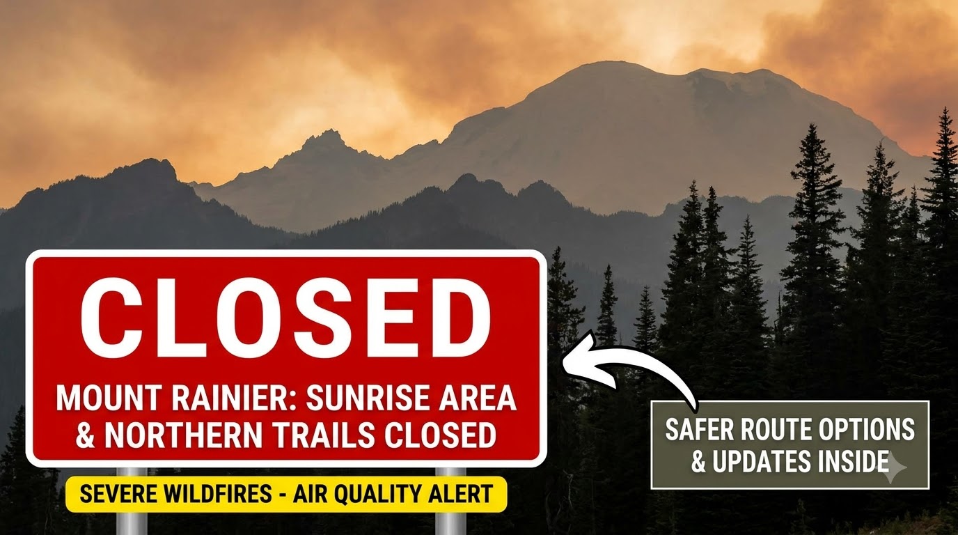


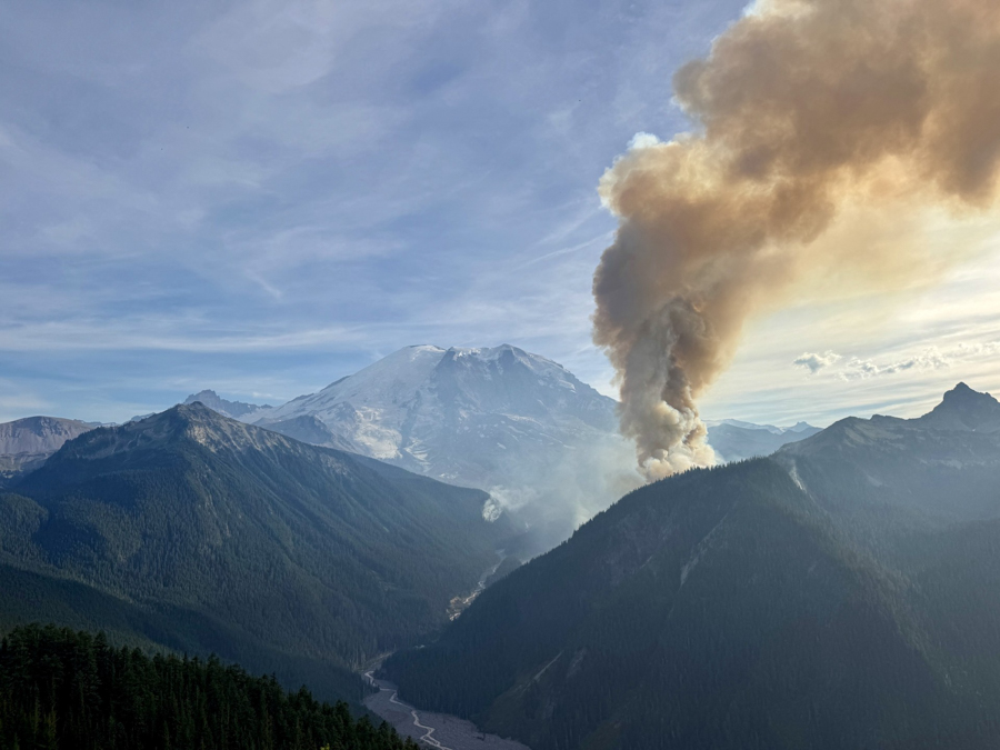
Wildfires burning across the northern sectors of Mount Rainier National Park have forced immediate closures of critical roads, campgrounds, and hiking routes this September 2026. Heavy regional smoke has severely reduced air quality and compromised visibility across the mountain. Anyone planning a visit must completely reroute their itinerary away from the Sunrise area and prepare for active fire restrictions across the entire park.
Which Major Sectors and Trails Are Officially Closed?
The National Park Service has completely shut down the Sunrise area, the Grand Park trails, and significant portions of the Wonderland Trail due to active fire perimeters. These closures aim to protect visitors from unpredictable fire behavior and allow emergency crews unrestricted access to the northern quadrants.
- Sunrise Area: The Sunrise Road remains strictly closed to unauthorized vehicular traffic. Authorities recently reopened limited pedestrian and bicycle access in early September, but passenger car access remains barred.
- Wonderland Trail: The iconic circuit is entirely severed. The section spanning from the Carbon River Suspension Bridge to the White River Campground is completely off-limits to all hikers.
- Northern Loop Trail: This route is closed from Berkeley Park to the Wonderland Trail junction. All associated backcountry camps, including Yellowstone Cliffs, Lake James, and Fire Creek, are heavily restricted.
- Carbon River Access: The SR 165 Carbon River/Fairfax Bridge is structurally closed to all vehicles, bicycles, and pedestrians. Visitors cannot access Mowich Lake or the Carbon River entrance from this specific highway.
What Fires Are Actively Burning Inside the Park Boundaries?
Two major fire zones are driving these closures: the Wonderland Complex Fires and the Grand Park 2 Fire. Both events ignited following severe summer lightning strikes.
| Active Fire Name | Specific Location | Total Size | Current Containment |
| Wonderland Complex | West Fork of the White River drainage | 378 acres | 0% Contained |
| Grand Park 2 Fire | North of the Sunrise Visitor Center | 168 acres | 88% Contained |
| Plummer Peak Fire | Southern border near Pinnacle Peak | 0.5 acres | 100% Contained |
The Wonderland Complex remains the most volatile threat to park infrastructure. It recently merged previously separate blazes, including the White River and Sluiskin fires, into the larger West Fork fire. With zero percent containment, this complex strictly dictates the prolonged closures on the northeast side of the mountain.
How Is Wildfire Smoke Impacting Air Quality and Visibility?
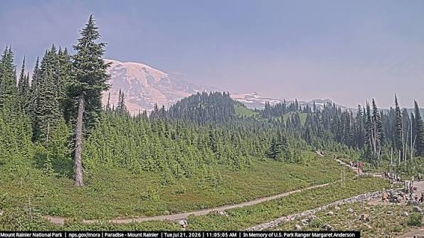
Plumes of regional wildfire smoke are actively pushing PM2.5 concentrations to unhealthy levels. This drastically reduces air quality and chokes out famous scenic lookouts. Unpredictable wind patterns from the southwest consistently push heavy smoke directly into the main visitor corridors.
Visibility from the Paradise Valley Road is heavily impaired, completely obscuring the mountain’s summit on certain afternoons. Hikers must rigorously assess personal sensitivity to poor air quality before attempting strenuous elevation gains.
Helpful Fix: Check the official AirNow live smoke maps before leaving the hotel. If the Air Quality Index (AQI) pushes above 150, cancel high-elevation hikes and remain indoors or inside a vehicle with the air conditioning set to recirculate. Wearing a well-fitted KN95 or N95 mask outdoors filters out harmful PM2.5 particulates effectively.
What Are the Mandatory Park-Wide Fire Bans?
A strict park-wide fire ban is active across Mount Rainier, prohibiting all campfires, briquettes, and fuel ignitions in fire pits or barbecue grills. The ban took effect in late June and remains strictly enforced to prevent human-caused wildland fires during this severe drought period.
The prohibition covers all developed front-country campgrounds, including Cougar Rock and White River. Campfires are permanently banned in Mount Rainier’s backcountry wilderness areas regardless of the season. Visitors found violating these fire restrictions face immediate fines and eviction from the campgrounds.
Where Can Visitors Still Go During the Closures?
The southern and western entrances remain fully operational, offering clear access to the Longmire and Paradise districts. Visitors just need to adjust their expectations and prepare for denser crowds in these open sectors.
The Nisqually entrance and Stevens Canyon entrance continue to welcome daily passenger traffic. Stevens Canyon Road remains fully open, providing a vital east-west link across the southern flank of the mountain. While the Pinnacle Peak area faced brief restrictions due to the Plummer Peak Fire, the main Pinnacle Peak Trail recently reopened for hiker access.
- Accommodation Warning: The Ohanapecosh Campground is entirely closed for the 2026 season due to massive infrastructure construction. This leaves Cougar Rock as the primary southern camping option for overnight visitors.
How Do Trail Closures Affect Backcountry Permits?
The severing of the Wonderland Trail forces a complete halt on long-distance trekking itineraries. The National Park Service explicitly states that no full Wonderland Trail circuit permits will be issued until further notice.
Backpackers holding existing reservations for Yellowstone Cliffs, Lake James, or Fire Creek must cancel their plans immediately. Authorities will issue automatic refunds for permits affected by active fire closures. Do not attempt to hike up to the closure barricades hoping to find an unmapped detour. The surrounding wilderness terrain features dangerous drop-offs and dense brush, making unauthorized off-trail travel fatal.
Crucial Navigation Warnings for Mount Rainier Road Trips
Never rely solely on digital GPS navigation to route a trip through Mount Rainier during fire season. Mapping applications frequently route drivers toward the most direct geographical path. Currently, these automated routes lead straight into hard road closures like SR 165 or the blocked Sunrise Road.
Cross-reference digital maps with the official Mount Rainier closure alerts published directly by the National Park Service. Attempting to bypass a closed gate adds hours of detour driving on remote mountain highways.
Geohazards also remain highly active across the open areas. The Westside Road poses high rockfall dangers, forcing vehicles to park south of the Dry Creek barricade. Glacial rivers run dangerously high and fast. Never attempt to cross unbridged rivers if the water flows above the knees.