
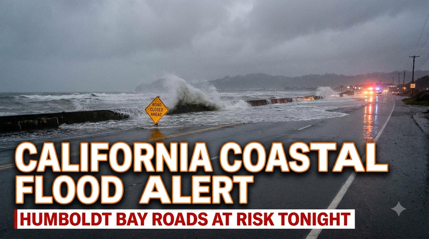


Travelers and residents around Humboldt Bay should expect minor coastal flooding late Monday, August 10, as unusually high astronomical tides push saltwater onto low-lying roads and shoreline areas. A Coastal Flood Advisory covers Northern Coastal Humboldt County from 9 p.m. Monday until 1 a.m. Tuesday, with the greatest risk centered around the late-evening high tide.
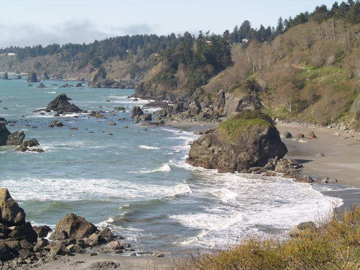
The National Weather Service Eureka says water could rise up to about half a foot above ground level near shorelines and tidal waterways. Parks and roads around Humboldt Bay may briefly flood, with isolated closures possible.
Humboldt Bay coastal flood advisory: What you need to know
| Question | Latest information |
|---|---|
| Advisory starts | 9 p.m. Monday, August 10 |
| Advisory ends | 1 a.m. Tuesday, August 11 |
| Peak high tide | About 10:21 p.m. |
| Possible flooding | Up to 0.5 foot above ground level |
| Areas most at risk | King Salmon, Arcata Bottoms and low-lying Humboldt Bay roads |
| Road specifically flagged | Jackson Ranch Road |
| Expected severity | Minor flooding with isolated road closures |
The National Weather Service expects a tide of roughly 8.7 to 8.9 feet MLLW at the Humboldt Bay North Spit gauge, with saltwater flooding possible for one to two hours before and after the 10:21 p.m. high tide.
Which Humboldt County roads could flood tonight?
Jackson Ranch Road in the Arcata Bottoms and several roads in King Salmon face the clearest flood risk tonight. The weather service specifically named these locations because even modest tidal flooding can cover roads that sit only slightly above surrounding wetlands and bay water.
For drivers, this is the important distinction: “minor flooding” does not mean every road remains easily passable.
A few inches of saltwater across a familiar road at night can hide:
- potholes or road edges;
- deeper drainage channels;
- debris;
- rapidly changing water depth.
Do not drive through standing saltwater just because another vehicle has made it across. A low sedan and a pickup truck do not have the same clearance, and conditions can change quickly as the tide rises.
Check Caltrans real-time highway conditions before traveling. As of early Monday, Caltrans was not reporting a flood closure on US 101 in this area, but local low-lying roads can be affected even when the main highway remains open.
What time is flooding most likely around Humboldt Bay?
The highest-risk period is roughly 8:20 p.m. to 12:20 a.m., centered on the 10:21 p.m. high tide.
The official advisory itself runs from 9 p.m. to 1 a.m., but the National Weather Service notes that saltwater inundation can begin one to two hours before high tide and continue one to two hours afterward.
That matters for anyone planning:
- a late drive through King Salmon;
- nighttime access around Humboldt Bay;
- fishing or waterfront activities;
- airport or hotel transfers;
- an early overnight departure.
If your route crosses low ground near the bay, going earlier can be smarter than waiting until the official advisory begins.
Why is Humboldt Bay flooding without a major storm?
The immediate trigger is unusually high astronomical tides combined with water levels already running above predictions.
National Weather Service forecasters reported that Humboldt Bay water levels were running about 0.8 foot above the predicted tide level, while the lunar cycle was making tides more pronounced. The predicted North Spit tide alone was about 7.95 feet MLLW Monday night; the extra water level anomaly raises the chance of minor flooding.
Travelers can monitor observed water levels through NOAA’s North Spit tide station.
Is this a major coastal flood emergency?
No. This is a Coastal Flood Advisory for expected minor flooding, not a major coastal flood warning.
The forecast calls for flooding mainly in low-lying parks, roads, shorelines and tidal waterways, with only isolated road closures expected.
That said, travelers should not dismiss it. A relatively small rise can still disrupt a route when the road itself sits barely above normal high-tide level.
Think of the advisory as a route-planning problem rather than a region-wide evacuation event.
What should drivers do before traveling near Humboldt Bay tonight?
Check your route shortly before departure rather than relying on conditions from earlier in the day.
Use this quick checklist:
- Check the NWS advisory before leaving.
- Look at current road conditions rather than yesterday’s closure list.
- Avoid Jackson Ranch Road and low King Salmon roads if water is already covering them.
- Never move barricades or drive around a closure.
- Allow a backup route and extra travel time.
- Recheck conditions after 8 p.m. if traveling near the 10:21 p.m. high tide.
A useful traveler habit is to screenshot your planned alternative route before leaving. Mobile coverage can be inconsistent on parts of the North Coast, and rerouting is easier when you already know the second-best road.
Will Humboldt Bay have another high tide Tuesday?
High tides remain worth watching Tuesday night as well. The National Weather Service forecast discussion lists another predicted North Spit high tide of about 7.99 feet MLLW at 11:17 p.m. Tuesday, and forecasters have highlighted minor coastal flooding potential around Humboldt Bay on both Monday and Tuesday evenings.
Anyone staying in the area for more than one night should therefore check Tuesday’s updated forecast instead of assuming Monday’s advisory is the end of the issue.
Bottom line for Humboldt Bay travelers
The biggest travel risk tonight is localized road flooding around Humboldt Bay between late evening and shortly after midnight. King Salmon and Jackson Ranch Road in the Arcata Bottoms deserve particular attention, while the high tide peaks around 10:21 p.m.
This is not a reason to cancel an entire Humboldt County trip.
It is a reason to avoid treating familiar low-lying roads as automatically safe.
Check conditions, use the main route where possible, and if saltwater is covering the pavement, turn around rather than testing how deep it is.